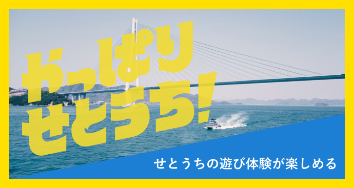


せとうち公式観光サイト
新しいせとうち、
見つける。
瀬戸内Finderウェブサイトリニューアルのお知らせ
2022年12月26日
おすすめ記事
-
 アート・文化
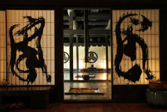
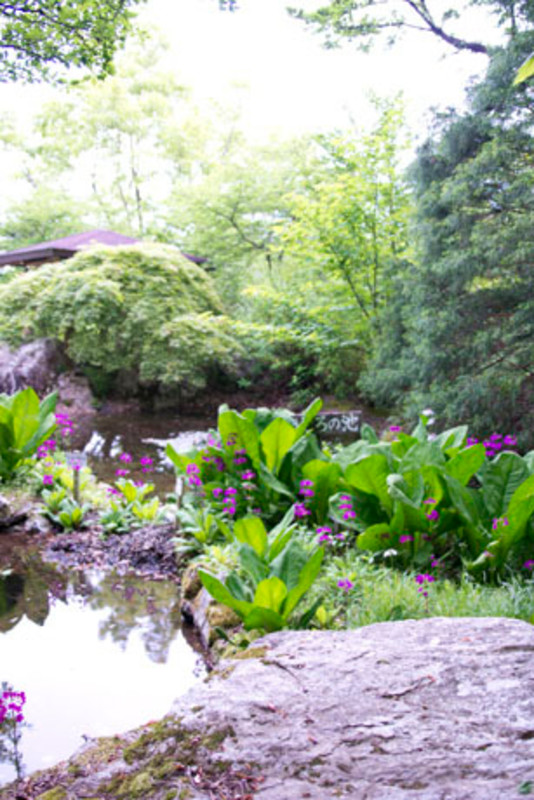
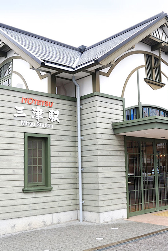
年中無休、乗船無料。室町時代から続く渡し舟『三津の渡し』/愛媛県松山市
-
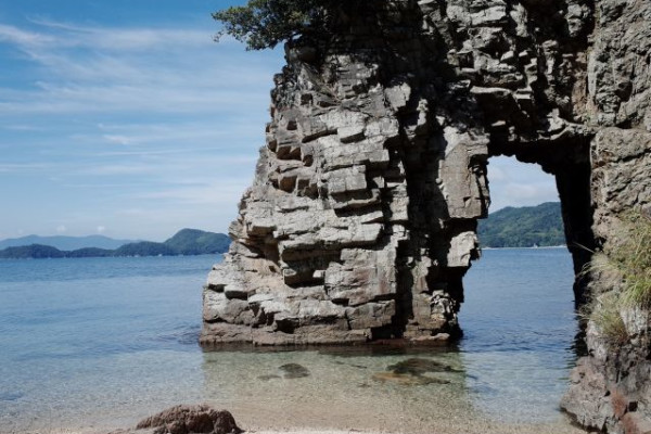
 海・自然
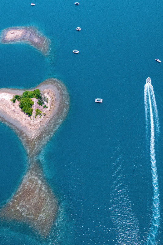
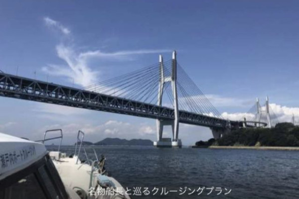
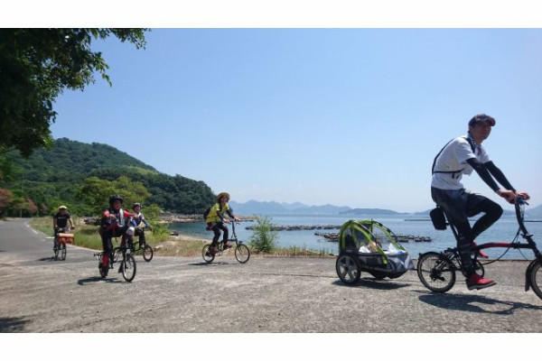
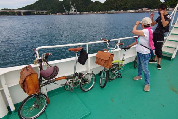
海・自然しまなみ海道・生口島へ!船&自転車のグルメでアートな旅/尾道市 瀬戸田
-
 グルメ・おみやげ
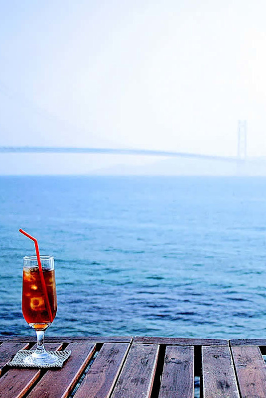
絶景をひとりじめ! 明石海峡大橋を一望するレストラン/N'OCEAN(ノーシャン)兵庫県神戸市
-
 グルメ・おみやげ
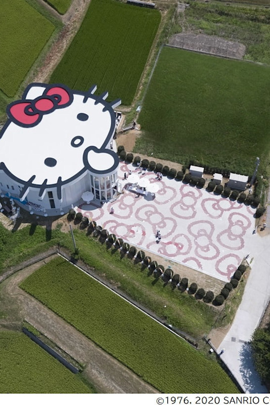
HELLO KITTY SHOW BOX/ハローキティに会えるシアターレストラン(兵庫県淡路市 淡路島)
-
 グルメ・おみやげ
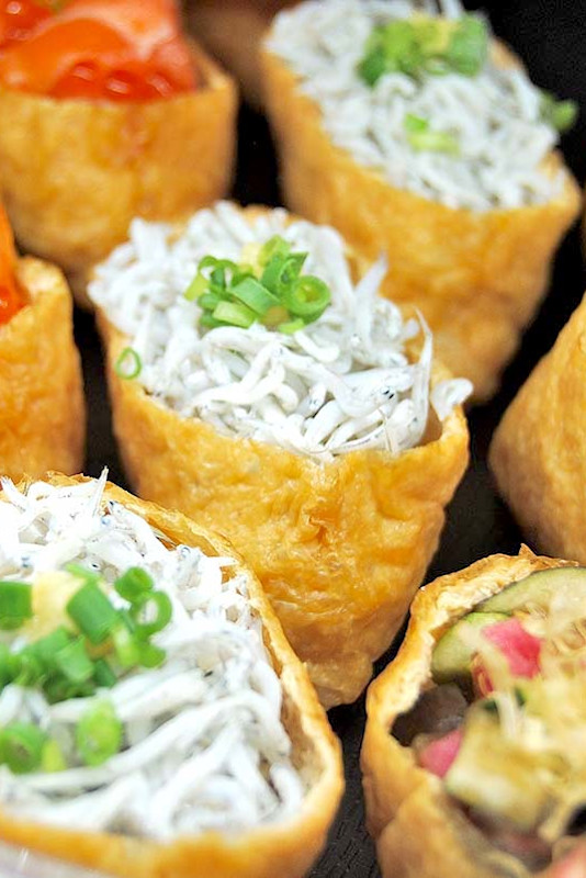
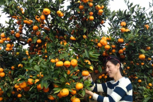
美味しくてかわいくて大人気!道後の新名物いなり寿司/道後いなり ゆのや(愛媛県松山市)
-
 アート・文化
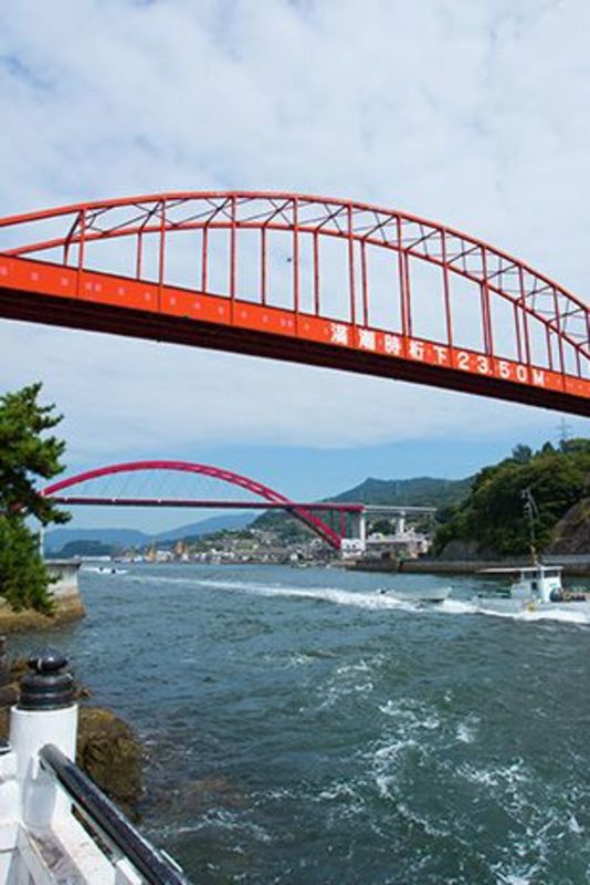
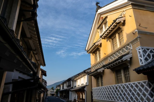
音戸の瀬戸と渡し船。音戸の町並み散策/広島県呉市
-
グルメ・おみやげ
絶景をひとりじめ! 明石海峡大橋を一望するレストラン/N'OCEAN(ノーシャン)兵庫県神戸市
-
海・自然
しまなみ海道・生口島へ!船&自転車のグルメでアートな旅/尾道市 瀬戸田
-
アート・文化
年中無休、乗船無料。室町時代から続く渡し舟『三津の渡し』/愛媛県松山市


新着記事
-
 体験
体験創造的過疎の町を満喫しよう!神山町おすすめスポットめぐり/徳島県
-
 体験
体験遊んで食べて、鳴門・ウチノ海の魅力を発見!爽快クルージング・フレンチモンスター 瀬戸内フードアート/徳島県鳴門市
-
 歴史
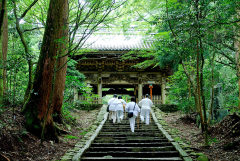
歴史日本遺産認定の港町・坂越(さこし)で、町並み散策と絶景の旅!/兵庫県赤穂市
-
 グルメ・おみやげ
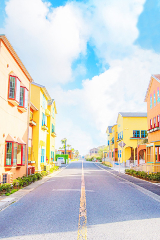
まるでヨーロッパ! 淡路島西海岸の複合施設で、グルメも買い物も大満喫 Ladybird Road /兵庫県淡路市
-
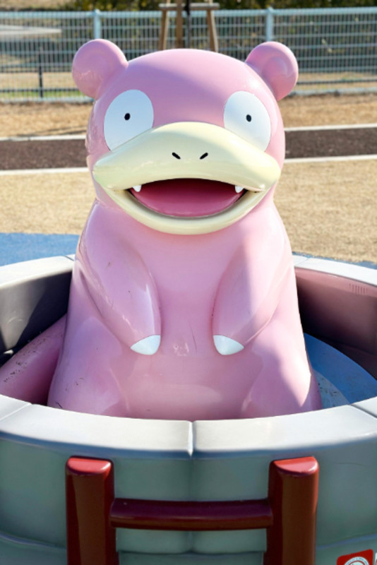 体験
体験ポケモン好き集合!まさにヤドンパラダイス♩かわいいヤドンに会いに行こう!/香川県綾川町
-
 体験
体験蘇った三津の町!ステキなスポットを訪ね歩く三津めぐりのまとめ/愛媛県松山市
-
 海・自然
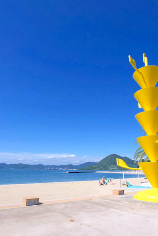
海・自然瀬戸内海の桜絶景、桜名所まとめ6選!/香川
-
 アート・文化
しまなみ海道・生口島の『島ごと美術館』全17作品の 見所・行き方を徹底解説!/広島県尾道市
-
 体験
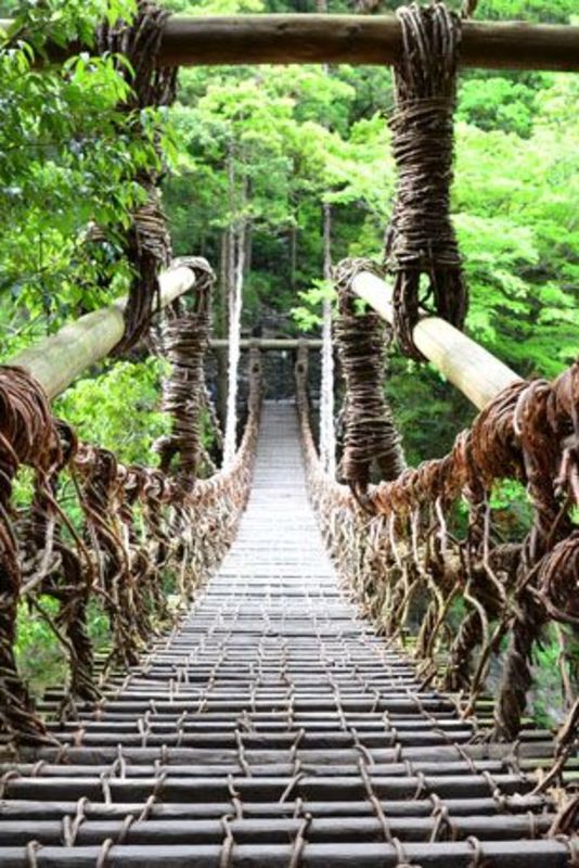
体験行ってみたらスゴかった!徳島観光スポット5選/徳島県


せとうちエリア
紹介マップ
この地域は海を介して歴史・文化を育て、実にバラエティ豊かな観光資源を創り上げています。

@setouchifinder